Mapping and hybrid mapping methods appear to offer an innovative solution for combining highly heterogeneous data, thereby reducing the complexity that arises from combining quantitative and qualitative data. At the same time, hybrid forms of maps seem to enable transparent and accessible visualisation of the analyses of these multidimensional data combinations.
We want to critically discuss this promise of complexity and visualisation in our interdisciplinary working group by familiarising ourselves with common mapping methods, reflecting on them theoretically and methodologically, and identifying connections to existing social science methods as well as methods from urban planning and architecture. Building on this, the aim of the working group is to develop and establish an independent interdisciplinary research programme and thus make a fundamental contribution to spatial research.
The institutional basis for this formidable interdisciplinary exchange is the cooperation between the SFB and the IRS. In an interdisciplinary exchange between architecture, urban planning and sociology, we pursue our work programme of testing methods of ‘hybrid mapping’ and reflecting on them methodologically. In doing so, we address the following questions, among others: What makes hybrid mapping a hybrid methodological tool? What are the differences but also the connections to classical cartography? What can hybrid mapping contribute to interdisciplinary spatial research?
Lehre:
• WS 2022-23 und SoSe 2023 Projektseminar „Enclaves/Exclaves. Social-spatial investigation on the Botanical Garden in Berlin“, FG Architektur- und Planungssoziologie, Institut für Soziologie, TU Berlin (zusammen mit Jamie Scott Baxter, FG CUD, Institut für Architektur)
• WS 2021-2022 Seminar „Art-based Commoning? Räumliche Verstrickungen zwischen Kul tur- und Stadtpolitik am Beispiel Berliner selbstverwalteter Kunst- und/ oder Projekträume“, FG Architektur- und Planungssoziologie, Institut für Soziologie, TU Berlin (in Kooperation mit der Dagmar Pelger Gastdozentur Städtebau der UdK Berlin)
• SoSe 2021 Seminar „Hybrid Knowledge/Hybrid Space at the BGBM“, FG CUD, Institut für Architektur, TU Berlin (zusammen mit Jamie Scott Baxter, Sophie Mélix und Jörg Stollmann)
• WS 2018-19 Forschungsstudio „Mapping das Haus der Kulturen der Welt – in der Welt“, FG CUD, Institut für Architektur, TU Berlin (zusammen mit Dagmar Pelger und Jörg Stollmann)
Publikationen:
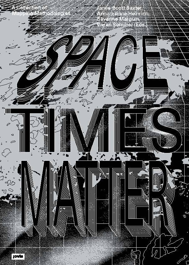
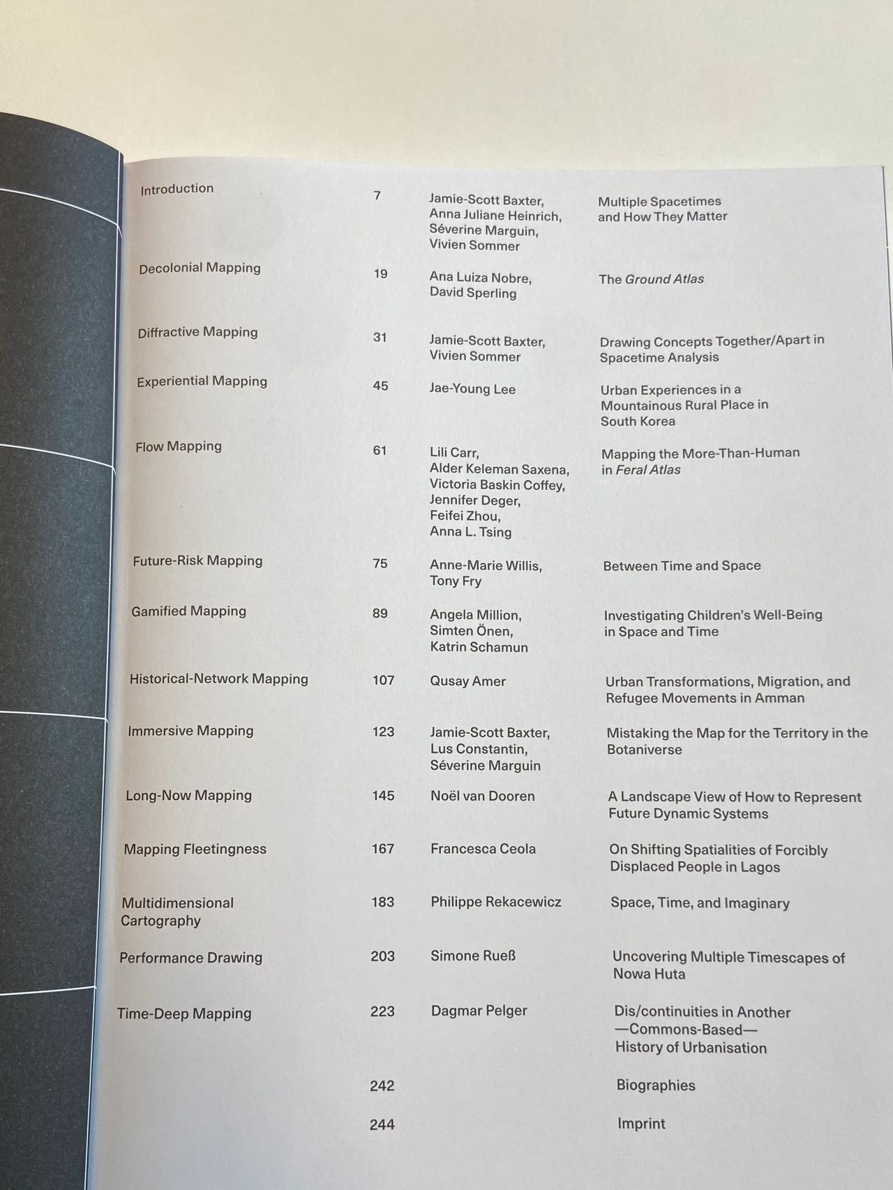
• Baxter J-S., Heinrich A. J., Marguin S., und Sommer V. (eds.), Spacetimes Matter. A Collection of Mapping Methodologies, Berlin: Jovis Verlag, 2025
• Baxter J., Marguin S., Mélix S., Schinagl M., Singh A. und Sommer V, For Hybrid Mapping: A Methodological Intervention in Socio-Spatial Research. The Case of the Botanical Garden, Berlin, Architecture and Culture, Vol. 11 (3), 2025
• Marguin S., „Karten und Mappings“, in: Blasius J. und Baur N. (eds): Methoden der empirischen Sozialforschung. Wiesbaden: Springer Verlag (S. 1669-1692), 2022 [https://doi.org/10.1007/978-3-658-37985-8_117]
• Marguin, S., Pelger, D. & Stollmann, J. „Mappings as Joint Spatial Display“. In: A. J. Heinrich, S. Marguin, A. Million & J. Stollmann (Hrsg.), Handbook for Qualitative and Visual Methods in Spatial Research. transcript, (S. 295-314), 2024
• Baxter J. S., Marguin S., Mélix S., Schinagl M., Sommer V. und Singh A., « Hybrid Mapping: Visual Methods at the Intersection of Sociospatial Research and Design », in: SFB 1265 Working Paper serie, Nr. 5, TU Berlin.
• Löw M. und Marguin S., « Eliciting Space. Methodological Considerations in Analysing Communicatively Constructed Spaces », in: Christmann G. et al. (eds) Communicative Constructions and the Refiguration of Spaces, Routledge London, 2020


